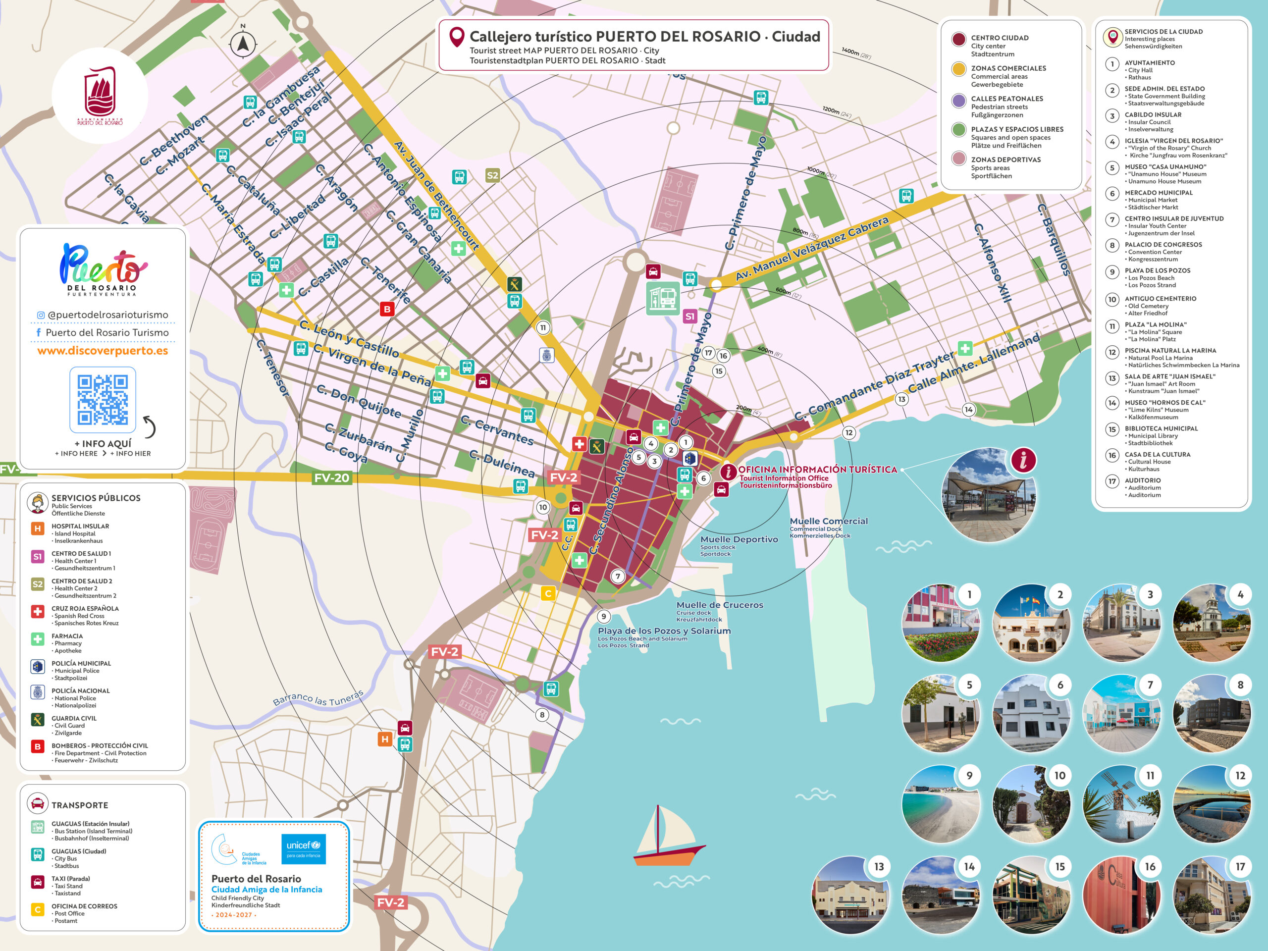
Keep Puerto del Rosario in your pocket. Download the municipality’s tourist map and city street map for free to view them on your phone—even without an internet connection—or print them out before your trip. They include points of interest, beaches, hiking trails, public services, transportation, and useful phone numbers in Spanish, English, and German.
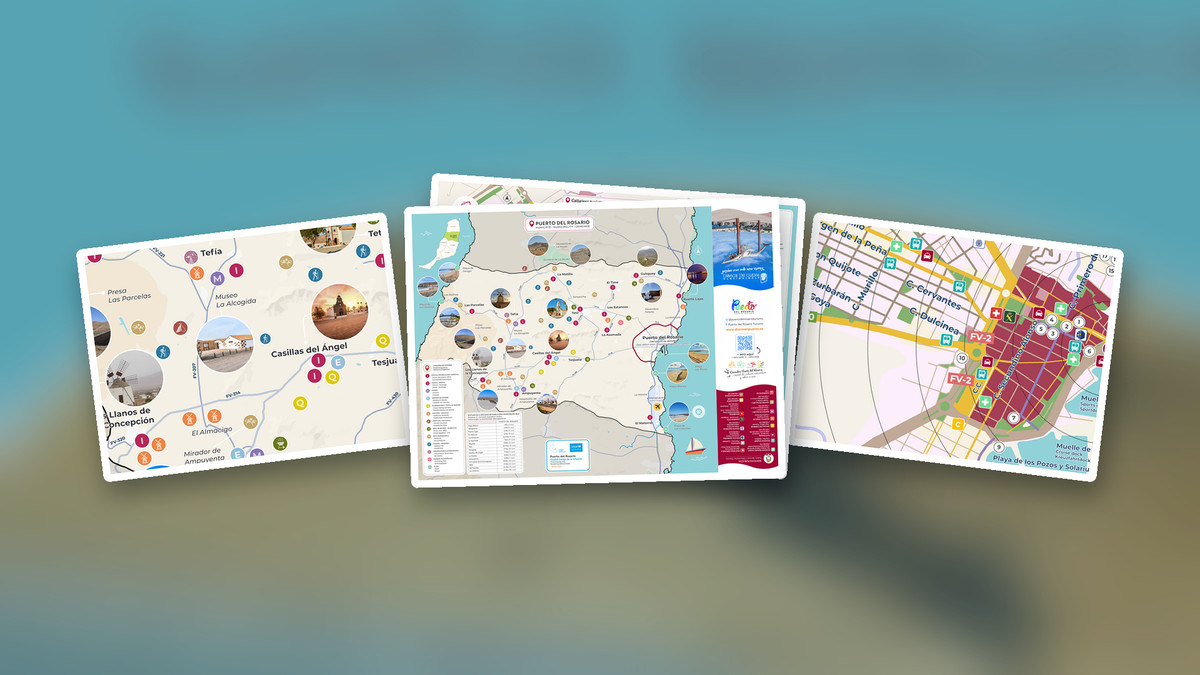
1. Complete tourist map (Click here to download the PDF)
Official document in PDF format featuring two sides: a map of the municipality and a street map of the city. It’s the ideal option for printing on A3 or A4 paper and for saving on your phone, since the quality remains sharp even when you zoom in on any detail.
Format: PDF · Recommended for printing
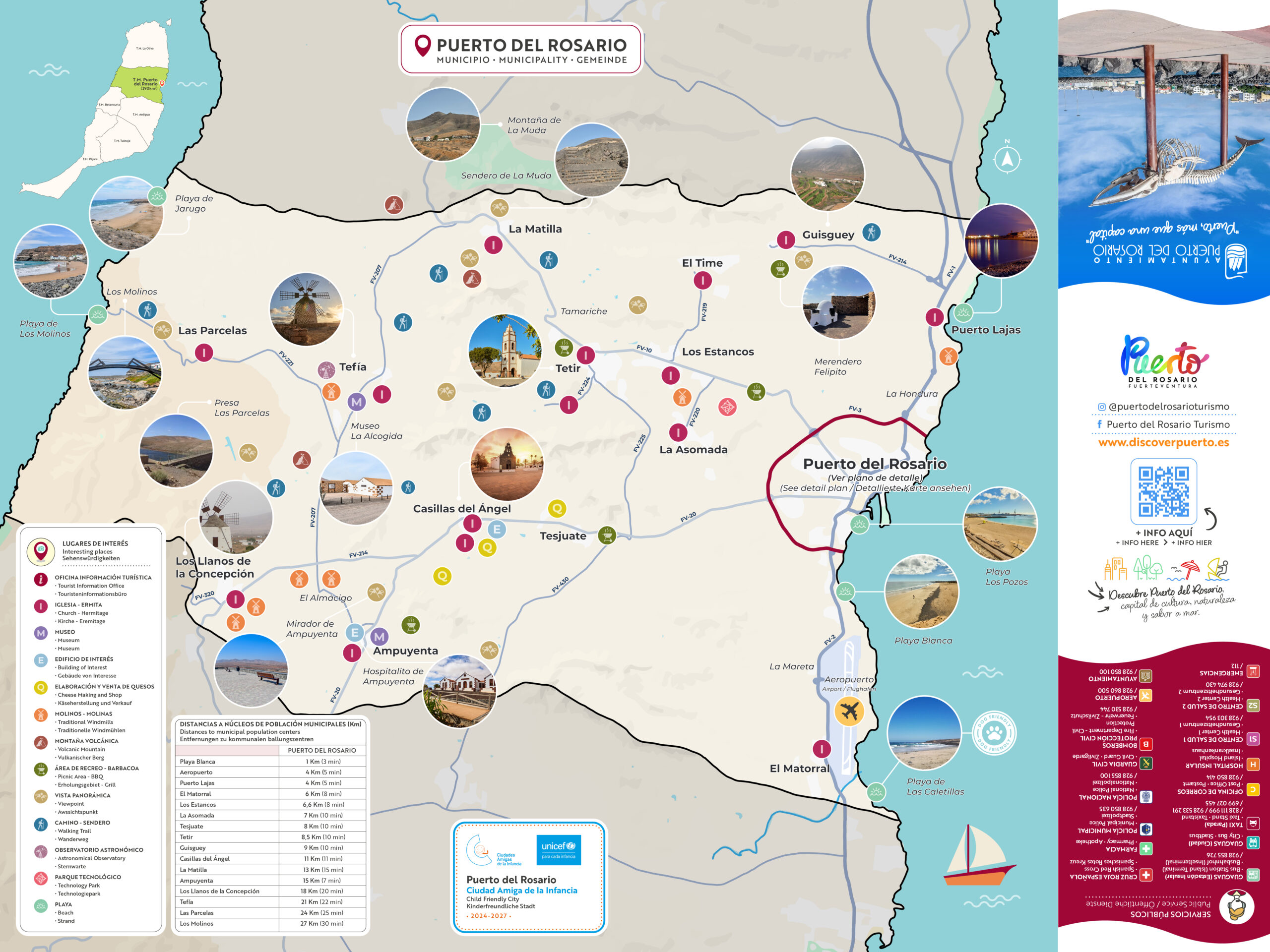
2. Map of the municipality (Click here to download the image)
An overview of the 290 km² municipal area, featuring the towns of Tetir, La Matilla, Tefía, Casillas del Ángel, Ampuyenta, Guisguey, Puerto Lajas, and El Matorral, as well as beaches, windmills, scenic overlooks, hiking trails, cheese factories, and recreational areas. Includes a table of distances and travel times from Puerto del Rosario.
Format: JPG · Recommended for viewing on a mobile device
3. City Map (Click here to download the image)
Detailed map of the city center showing the streets, the pedestrian and shopping areas, the docks, and Los Pozos Beach. It highlights the city’s 17 points of interest—City Hall, Town Council, Virgen del Rosario Church, Unamuno House Museum, Municipal Market, Juan Ismael Art Gallery, Hornos de Cal, and the Auditorium—along with pharmacies, health centers, bus stops, and taxi stands.